Issued by MetService at 8:13pm Wednesday 31-Jan-2018
Major storm expected to hit the South Island with significant heavy rain and strong winds for much of the South Island, also for the lower parts of the North Island.
A front is moving across the lower South Island this evening. A major storm (former Tropical Cyclone Fehi) is approaching from the north tonight, and it is forecast to cross the South Island during Thursday. It should then move away to the southeast on Friday. This storm will bring significant heavy rain and possible damaging winds to much of the South Island and parts of the lower North Island from late Wednesday to early Friday.
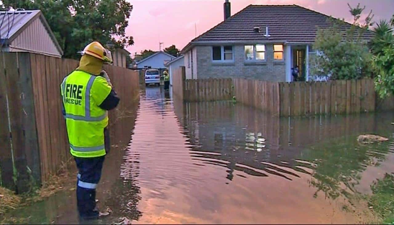
Tauranga’s City Council’s emergency management services are warning residents and businesses in harbour areas to prepare for possible flooding.
The heaviest rain is expected in the South Island (apart from Canterbury Plains and Kaikoura Coast), especially in Westland and Fiordland where 200 to 400mm of rain could accumulate from tonight to early Friday. Heavy rain is also expected for Mt Taranaki and Tararua Range. A Heavy Rain Warning is in force for these areas.
In addition, gale force winds are expected for southern and central New Zealand, initially from the north, but turning northwest then southwest later. The strongest winds are likely to be in Westland, Buller, Canterbury High Country, Nelson, Marlborough , Wellington and southern Taranaki, and a Strong Wind Warning is in force for these areas.
People are strongly urged to keep up to date with the latest forecasts and warnings in case other areas will be added to the Warning.
Heavy Rain Warning
Heavy rain may cause streams and rivers to rise rapidly. Surface flooding and slips are also possible and driving conditions may be hazardous.
Area: Bay of Plenty, Rotorua, and the Gisborne ranges.
Valid: 15 hours from 3:00pm Thursday to 6:00am Friday
Forecast: Rain is forecast to set in Thursday, with heavy falls from afternoon till Friday morning. Expect 70 to 100mm of rain to accumulate, mainly about the ranges. Peak intensities of 20 to 40mm per hour in possible thundery downpours.
Area: Mt Taranaki
Valid: 15 hours from 6:00am to 9:00pm Thursday
Forecast: Periods of heavy rain from Thursday morning to Thursday evening. Expect 80 to 130mm of rain to accumulate. Peak intensities 25 to 35mm per hour.
Area: Marlborough, Nelson and Buller
Valid: 15 hours from 3:00am to 6:00pm Thursday
Forecast: Periods of heavy rain from early Thursday morning to evening. Expect 80 to 150mm of rain to accumulate, especially about the ranges. Peak intensities 25 to 35mm per hour.
Area: Tararua Range
Valid: 15 hours from 12:00pm Thursday to 3:00am Friday
Forecast: Periods of heavy rain from midday Thursday to Thursday night. Expect 100 to 150mm of rain to accumulate, with peak intensities of 20 to 30mm per hour.
Area: Westland
Valid: 36 hours from 9:00pm Wednesday to 9:00am Friday
Forecast: Rain with heavy falls is forecast to continue till Friday morning. Expect 250 to 400mm – or possibly even more – to accumulate south of Otira, and 180 to 250mm farther north, especially about the ranges. Peak intensities 30 to 40mm per hour.
Note, the combination of strong winds, large swells and high tides may cause inundation about the coast.
Area: Canterbury High Country within 20km east of the divide
Valid: 35 hours from 10:00pm Wednesday to 9:00am Friday
Forecast: Periods of heavy rain are expected from late this evening till Friday morning. Expect 120 to 180mm of rain to accumulate, but 200 to 300mm near the divide. Peak intensities 15 to 25mm per hour.
Area: Fiordland
Valid: 25 hours from 8:00pm Wednesday to 9:00pm Thursday
Forecast: Heavy rain is forecast to continue till Thursday evening. Expect a further 200 to 300mm of rain to accumulate north of Doubtful Sound and 160 to 220mm farther south. Peak intensities of 25 to 40mm per hour.
Area: Otago
Valid: 22 hours from 2:00am Thursday to 12:00am Friday
Forecast: Rain developing tonight, with some heavy falls through to Friday morning. Expect 80 to 130mm of rain to accumulate – possibly even more in the west – but 50 to 80mm about North Otago. Peak intensities 15 to 30mm per hour.
Area: Southland
Valid: 23 hours from 10:00pm Wednesday to 9:00pm Thursday
Forecast: Rain is forecast to become heavy this evening, continuing till late Thursday. Expect 90 to 130mm of rain to accumulate. Peak intensities 10 to 25mm per hour.
Strong Wind Warning
Strong wind gusts could damage trees, powerlines and unsecured structures. Driving may be hazardous, especially for high-sided vehicles and motorcycles.
Area: Southern Taranaki, Wellington, Marlborough, Nelson, Canterbury High Country
Valid: 14 hours from 3:00am to 5:00pm Thursday
Forecast: Northerly gales gusting 130 km/h or more developing overnight tonight, turning northwesterly about midday Thursday, then easing early Thursday evening.
Area: Westland and Buller
Valid: 14 hours from 3:00am to 5:00pm Thursday
Forecast: Northeasterly gales developing Thursday morning, turning northwest about midday, then turning southwest and gradually easing Thursday evening. Expect gales gusting 130 km/h or more in exposed places.
Article Source: http://www.metservice.com/warnings/severe-weather-warnings